Where do you want to go?
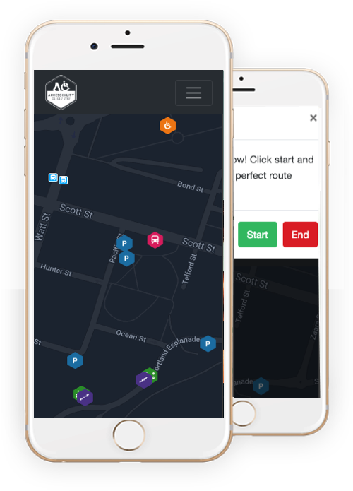
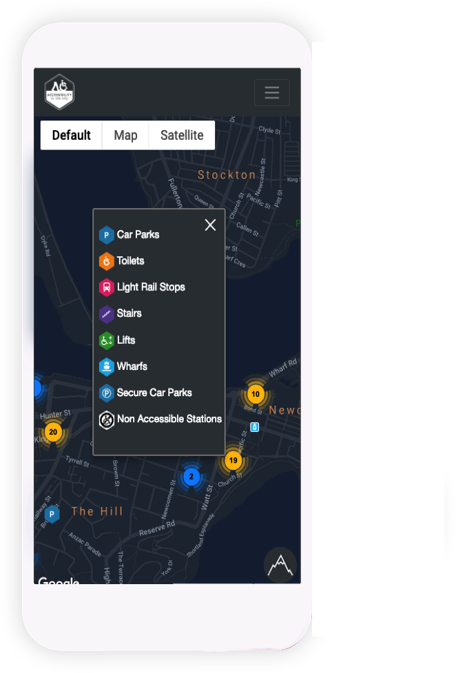
Our online mapping solution offers markers to assist connecting you, our users to a more inclusive and accessible community.
Open Map
Our online mapping solution offers markers to assist connecting you, our users to a more inclusive and accessible community.
Open Map
Accessibility in the City was founded in 2016 when it was identified there was a need in the market to better support those with accessibility issues and assist by providing a mapping and navigation tool.
Our goal is for all to be empowered to easily pre-plan and navigate on the move, making decisions that will best allow our users to access the community in which they live or seek to venture in. People with accessibility issues can feel vulnerable and anxious when going to a new location and like to seek knowledge on their surroundings before arriving.

Markers are updated and reviewed for accuracy to ensure compliance.
Enter your current location and destination and plan an accessible route.
View a heatmap to see gradient hotspots to avoid.
Use your current location to load the map that best suits your needs.

"Helping those with accessibility issues get into our communities!"

"Newcastle's greatest accessible venue for live & original music, good food & great service."

"City of Newcastle Council was formed in April 1938 with the merger of Adamstown, Carrington, Hamilton, Lambton, Merewether, Newcastle, New Lambton, Stockton, Wallsend, Waratah and Wickham Councils."